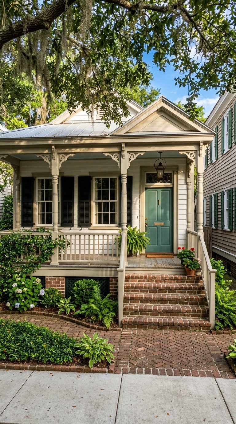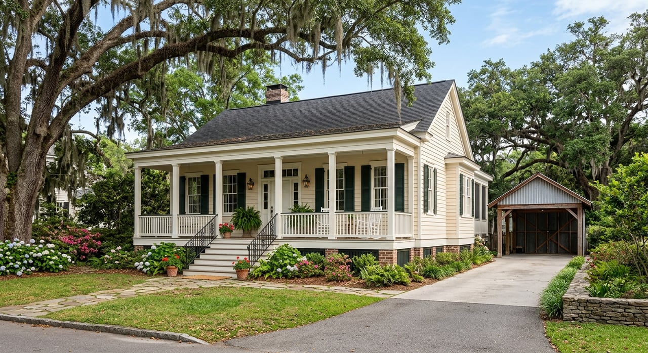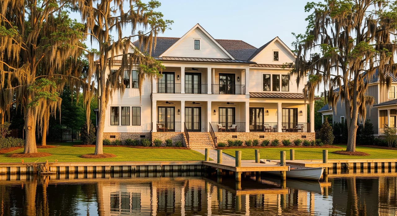
Buying in New Orleans without understanding flood zones can leave you with costly surprises. If you are comparing homes in Uptown, Lakeview, or near the Metairie line, you may already know that flood risk here is more complicated than a single map label. This guide will help you understand what flood zones mean, what they do not mean, and how to do smarter due diligence before you buy. Let’s dive in.
What flood zones mean
FEMA flood maps are the official maps used for National Flood Insurance Program purposes. On those maps, the Special Flood Hazard Area includes zones such as A, AE, AO, AH, V, and VE. In simple terms, Zone AE is a 1% annual-chance flood area with Base Flood Elevations shown, Zone VE is a coastal high-hazard area with wave action, and Zone X is considered lower risk than the high-hazard zones, according to FEMA’s flood zone definitions.
A key term to know is Base Flood Elevation, or BFE. FEMA defines BFE as the elevation floodwaters are expected to reach during the 1% annual-chance flood, and those elevations appear on detailed-study maps for zones like AE and VE, as explained in FEMA’s BFE glossary. For buyers, that number matters because elevation relative to BFE can affect both insurance cost and rebuilding standards.
Why maps are only the start
A FEMA map is useful, but it is not the whole story. FEMA says the Flood Map Service Center is the official source for current flood hazard mapping products and can also show Letters of Map Change tied to an address. That makes it the best first stop when you want to verify a property’s current status.
Still, flood maps have limits. FEMA notes that flooding can happen outside mapped high-risk areas, and the City of New Orleans also explains that the FIRM does not capture minor flooding from drainage issues or street back-up. In other words, a flood zone is a starting point, not a complete risk profile.
Why New Orleans is different
New Orleans requires more block-by-block analysis than many other markets. The city’s Hazard Mitigation Plan explains that much of New Orleans is flat and close to, or below, sea level, with a bowl-like system of basins. That means rainwater often has to be pumped out rather than flowing away naturally.
The Sewerage & Water Board of New Orleans says the city has 24 drainage pumping stations, 120 drainage and constant-duty pumps, and about 90 miles each of open and subsurface canals. Most rainwater is pumped into Lake Pontchartrain. For you as a buyer, this means local flood conditions are shaped not just by elevation and FEMA mapping, but also by how the drainage and power systems perform during major rain events.
Why drainage matters so much
In New Orleans, two homes with similar flood-zone labels can still feel very different during a storm. The Sewerage & Water Board explains on its Power Complex page that the drainage system depends in part on pumps and older 25-Hz electrical equipment in older parts of the city. That is one reason drainage reliability plays such a big role in real-world flood resilience.
This is also why locals often talk about flooding by block, not just by neighborhood. A few feet of elevation change, nearby drainage patterns, and pump performance can all affect what happens on your street during heavy rain.
How flood risk changes by area
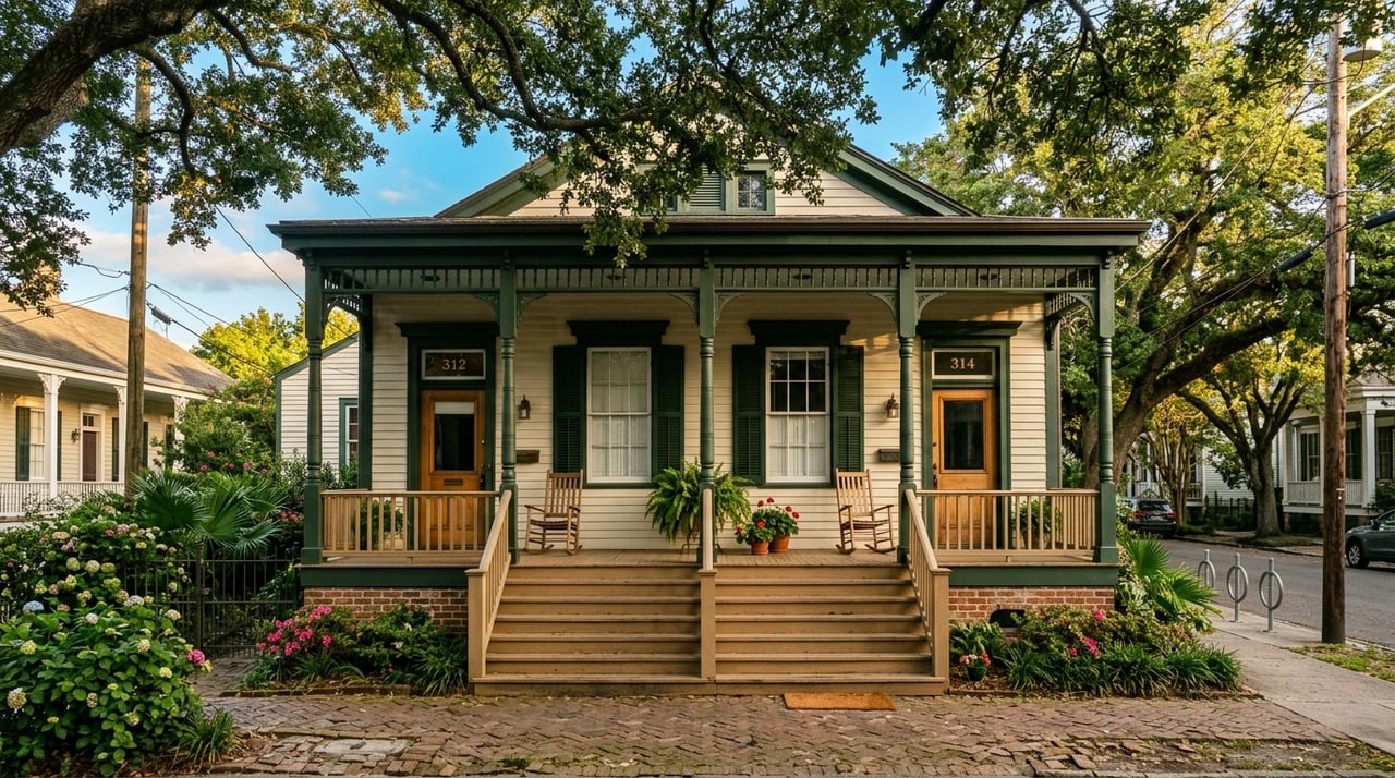
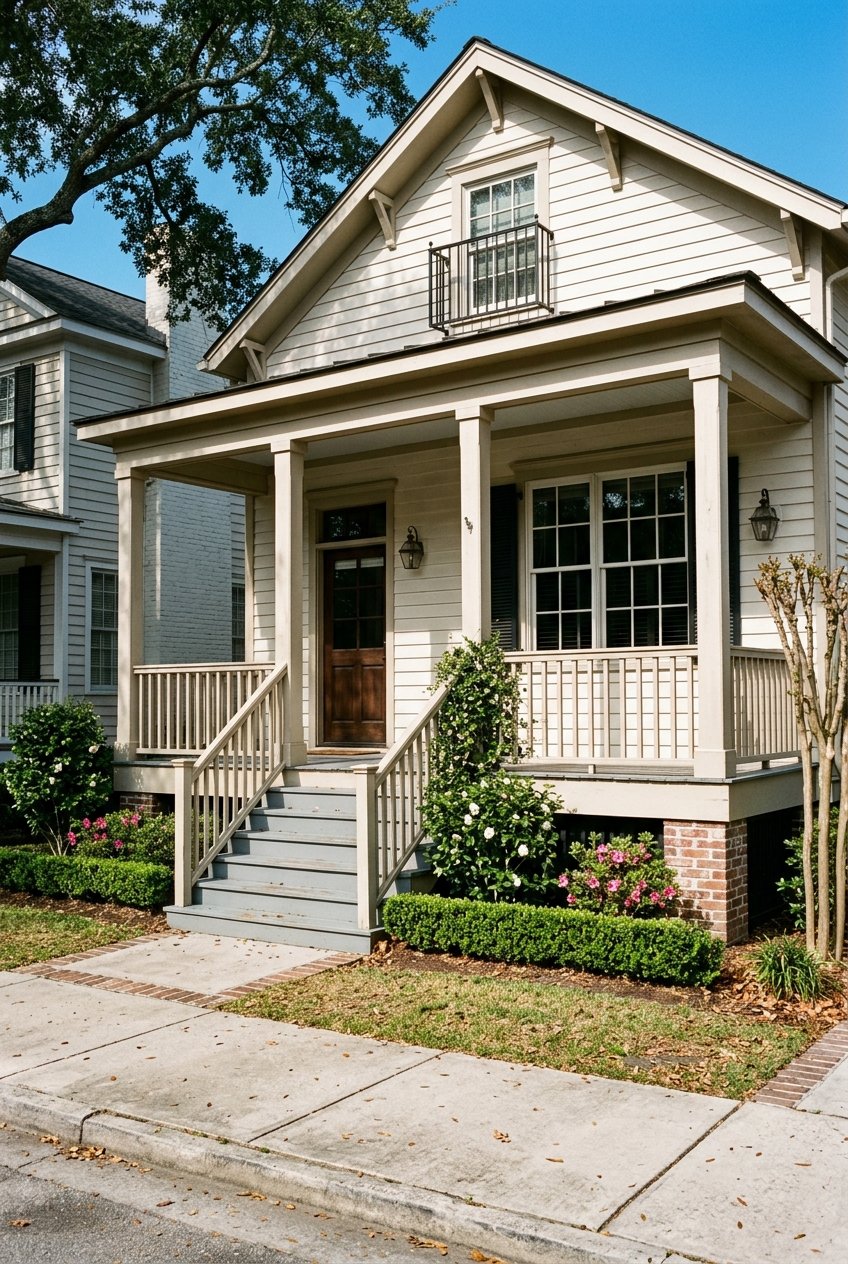
Uptown varies by address
Uptown is a great example of why neighborhood name alone is not enough. The city hazard plan notes that on Tulane’s Uptown campus, about 30 facilities are in a Special Flood Hazard Area, while a majority of campus buildings are not within the 100-year SFHA. That shows how flood status can change within the same broader area, even over relatively short distances.
If you are shopping in Uptown, it is smart to verify each address individually. That is especially true in an area where the terrain may vary by only a few feet, but that small difference can change the map result.
Lakeview deserves extra attention
Lakeview is often used as an example of a lower-lying part of the city. The New Orleans hazard plan explains that many swampy areas were drained to allow development toward Lake Pontchartrain, including Lakeview, and it identifies Lakeview among the city’s lowest-elevation areas. For buyers, that makes elevation and drainage history especially important points to review.
That does not mean every home in Lakeview carries the same level of risk. It means you should look closely at the address, the current flood map, available elevation data, and local street-drainage patterns before making a decision.
Metairie-adjacent areas can shift quickly
Near the parish line, flood exposure can change quickly. The city hazard plan identifies the Metairie Ridge as one of the few natural ridges in the area, which helps explain why nearby locations may have different flood profiles. If you are comparing homes in New Orleans and nearby Jefferson Parish, ridge and basin patterns can matter more than you might expect.
Jefferson Parish also notes that its land is low and flat, must be pumped, and can be affected by both storm surge and heavy-rain flooding. Through its Know Your Flood Risk resources, the parish provides flood-zone determinations by address, which can be useful if your search includes Metairie or Old Metairie-adjacent areas.
What flood zones mean for insurance
Flood zones can directly affect insurance requirements, but the rules are not always simple. FEMA says that homes in high-risk flood areas with mortgages from government-backed lenders are required to carry flood insurance. FEMA also notes that NFIP flood insurance usually has a 30-day waiting period unless coverage is tied to a required loan or a map change.
It is also important to remember that lenders can still require flood insurance even if a property is outside the highest-risk zones. And just as important, Zone X is not a no-risk zone. FEMA says there is no such thing as a no-risk zone, and flood claims do occur in low- and moderate-risk areas too.
Why elevation still matters
Insurance pricing is no longer based on flood zone alone. FEMA says Risk Rating 2.0 is designed to reflect a property’s individual flood risk more accurately, and that approach has been fully implemented since April 1, 2023. In higher-risk areas, elevation relative to BFE still matters, which is why an Elevation Certificate can be valuable when one is available.
For you, that means two homes in the same mapped zone may not have the same insurance cost. Elevation, structure details, and other property-specific factors can influence pricing, so it is worth asking detailed questions early in the process.
New Orleans rules buyers should know
The local building standard is another piece of the picture. The city’s hazard mitigation plan says New Orleans’ floodplain ordinance requires new construction and substantial improvements to be built to the higher of 1 foot above BFE or 3 feet above the highest adjacent curb. That standard can affect both compliance and future renovation planning.
The same city plan also notes that New Orleans adopted the FEMA FIRM dated September 16, 2016, and that some areas formerly in Special Flood Hazard Areas were reclassified as non-SFHA in the 2016 maps. That is another reason you should rely on current address-specific information rather than assumptions based on older listings or neighborhood reputation.
A smart buyer due diligence process
If you are buying in New Orleans, a clear process can help you avoid surprises. Start with FEMA’s address search, then build from there using local tools and property-specific documents.
Here is a practical workflow:
- Search the property in FEMA’s Flood Map Service Center to confirm the current effective map.
- Check whether any Letters of Map Change apply to the address.
- Ask whether an Elevation Certificate is available.
- Review insurance implications early with your lender and insurance provider.
- Use the City of New Orleans Property Viewer for parcel and zoning context.
- Ask about past street flooding and drainage performance on the block, not just the lot itself.
That last step matters more than many buyers expect. Since the city notes that flood maps do not fully predict drainage or street-level flooding, block-level history can add valuable context when you are comparing similar homes.
Questions worth asking before you buy
Before you move forward on a home, ask a few focused questions. These can help you separate a manageable risk profile from an unclear one.
- What is the current FEMA flood zone for this exact address?
- Is there an Elevation Certificate available?
- Has the property had any map change, such as a LOMA or LOMR?
- Is flood insurance currently required by the seller’s lender?
- What has street flooding been like on this block during heavy rain?
- Were any major improvements made to meet current elevation or floodplain rules?
A strong buying strategy in New Orleans balances official map data with local, address-level context. That is especially true in areas like Uptown, Lakeview, and along the Metairie corridor, where small shifts in elevation and drainage conditions can make a meaningful difference.
When you want a second set of eyes on a property search, local guidance can help you ask better questions and compare homes more confidently. If you are exploring New Orleans neighborhoods and want tailored insight on flood zones, insurance considerations, and address-by-address due diligence, connect with Ashley Nesser.
FAQs
What does Zone X mean for a home in New Orleans?
- Zone X means the property is in a lower-risk area than high-hazard zones, but FEMA says it is not a no-risk zone and flooding can still happen.
How can you check a property’s flood zone in New Orleans?
- You can start with FEMA’s Flood Map Service Center address search to view the current effective map and any available map changes tied to the property.
Why is block-by-block flood analysis important in Uptown New Orleans?
- Uptown is not uniform, and the city’s hazard plan shows that properties within the same broader area can fall inside or outside the Special Flood Hazard Area depending on the exact address.
Why should buyers ask for an Elevation Certificate in New Orleans?
- An Elevation Certificate can help show how a property sits relative to Base Flood Elevation, which can be important for understanding insurance pricing and risk.
Can a lender require flood insurance outside high-risk zones in New Orleans?
- Yes, FEMA says lenders can require flood insurance even when a property is outside the highest-risk flood zones.
What local tool can help you research a New Orleans property beyond the flood map?
- The City of New Orleans Property Viewer can help you review parcel and zoning context after you confirm the flood zone through FEMA.